")
")
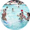 The Aquatic Area
 Services
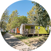 Rates
Rates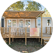 Mobile Homes
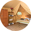 The Atypiks
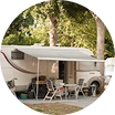 Pitches
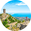 In Catalan Country
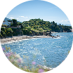 Argelès sur Mer & the Côte Vermeille
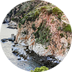 Spain
Spain Practical Information
 Contact Us
 FAQ – Camping La Plage Argelès
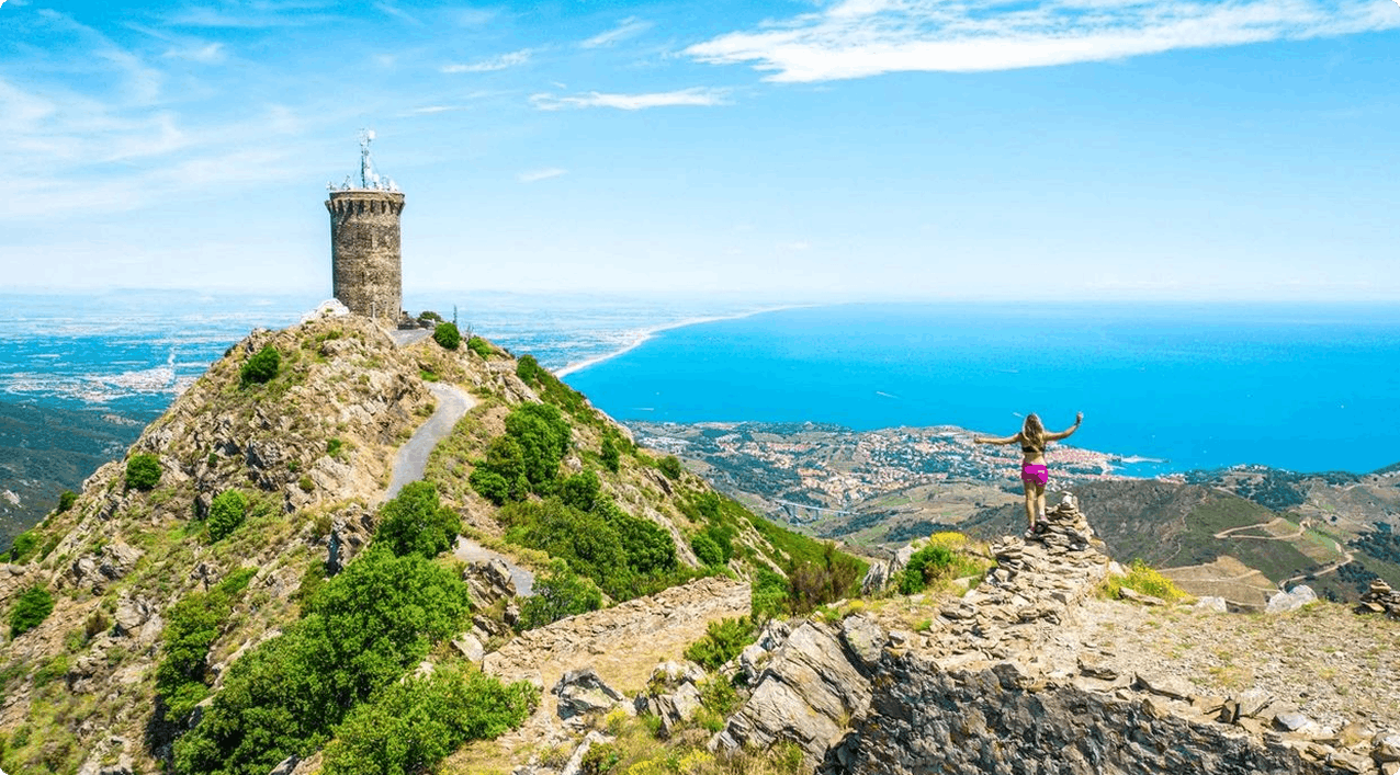
What hiker hasn’t dreamed of a place where the sea meets the mountains? In the Pyrénées-Orientales, every hiking trail takes you through Mediterranean coves, forests, gorges, and peaks with spectacular views of the Roussillon plain. Here, hiking is an activity accessible to everyone, just a stone’s throw from La Plage, the 3-star campsite in the Pyrénées-Orientales. Lace up your boots, don’t forget to download your GPX track! Discover the most beautiful hiking routes in the Pyrénées-Orientales! Book your stay in Argelès-sur-Mer now and experience nature at your own pace.
Key Information for Hiking in the Pyrénées-Orientales
| Hiking Route | Distance | Elevation Gain (D+) | Difficulty |
| Coastal Path (Racou – Collioure) | 9.85 km (One way) | +197 m | Medium |
| Massane Tower Loop (Valmy) | 12.2 km (Loop) | +776 m | Medium |
| The Orgues d’Ille-sur-Têt | 8.4 km (Loop) | +68 m | Moderate |
| Querroig Tower (Cerbère) | 16 km (Loop) | +781 m | Difficult |
The Coastal Path: Walks and Ocean Views
This section is ideal for family hikes in the Pyrénées-Orientales. Shortly after the start, a short climb leads to a first viewpoint, revealing a panoramic view of Argelès Bay, the Albères massif, and the coastline stretching towards Collioure.
The journey continues along a balcony path above the sea. The arrival at l’Ouille beach is striking due to the stark contrast between its dark rocks, light sand, and the intense blue of the sea. Further on, the path runs along the ramparts of Fort Rodon. The final approach to Collioure is the highlight of the show. The village gradually reveals itself, its bell tower slowly appearing on the horizon.
Our advice: since this route is one-way, you need to plan your return. You can either retrace your steps or use the summer sea shuttles between Argelès and Collioure.
Starting point: Racou car park, Argelès-sur-Mer, 3 km from our campsite.
Distance: 9.85 km (one way).
Average duration: 2h20 to 3h30.
Difficulty level: medium.
Elevation gain: +197 m.
The Ascent of Massane Tower: An Intense Mountain Route
Looking for a real mountain hike without hours of driving? This circular hike to Massane Tower starts at the foot of Valmy Castle, in Argelès-sur-Mer. The outward journey offers a varied immersion in the Albères massif, alternating between wide forest tracks and more intimate paths, all punctuated by historical remains such as the dolmens of Cova de l’Alarb and Collets de Collioure.
The ascent, significant with its 800 meters of elevation gain, finally leads to the goal: Massane Tower. The reward matches the effort, with breathtaking views of the entire Côte Vermeille and the Roussillon plain. It’s the ideal spot for a well-deserved break. This area is also perfect for other outdoor activities, such as mountain biking.
Starting point: Valmy Castle, Chemin du Château Valmy, 66700 Argelès-sur-Mer, France, 4 km from our campsite.
Distance: 12.2 km (Loop).
Average duration: 5h40.
Difficulty level: medium
Elevation gain: +776 m.
The Orgues d’Ille-sur-Têt: Moderate Geological Route
To vary the pleasures, head inland and opt for one of the short hikes in the Pyrénées-Orientales. This family-friendly route guides you to discover unique landscapes. The coolness of the La Têt river accompanies the start of the walk, before arriving at the Orgues d’Ille-sur-Têt site, the highlight of the visit. These sand and clay cliffs, sculpted by erosion, constitute a rare geological curiosity in France. Enjoy this unique setting, both peaceful and green, and discover the historical heart of the region. This is one of the easy hikes in the Pyrénées-Orientales to prioritize.
Please note! Access to the Orgues d’Ille-sur-Têt site is subject to a fee (remember to check opening hours).
Starting point: Rue Victor Hugo, 66130 Ille-sur-Têt, France, 52 km from our campsite.
Distance: 8.4 km (loop).
Average duration: 2h35.
Difficulty level: moderate.
Elevation gain: +68 m.
Querroig Tower in Cerbère: Border View
The Querroig loop is one of the best hikes in the Pyrénées-Orientales for its 360° panoramas of the Mediterranean and the Catalan mountains. The summit of Pic du Querroig, at 672 meters altitude, marks the border with Spain.
On the trail, the garrigue smells of rosemary, the south wind accompanies the ascent, and once at the summit, the view of Port-Vendres and Cap de Creus is unforgettable. This hiking route in the Pyrénées-Orientales appeals to nature enthusiasts and panoramic trail lovers alike.
Starting point: Av. Gén de Gaulle, 66290 Cerbère, France, 24 km from our campsite.
Distance: 16 km (loop).
Average duration: 6h45.
Difficulty level: difficult.
Elevation gain: +781 m.
The Pyrénées-Orientales department offers a range of exceptional itineraries. Your stay at Camping La Plage in Argelès-sur-Mer is the perfect opportunity to combine relaxation and discovery. The best hikes in the Pyrénées-Orientales await you, and their proximity to the sea makes them unique. Just download the GPX track and Book your vacation to start your adventure now!